Research
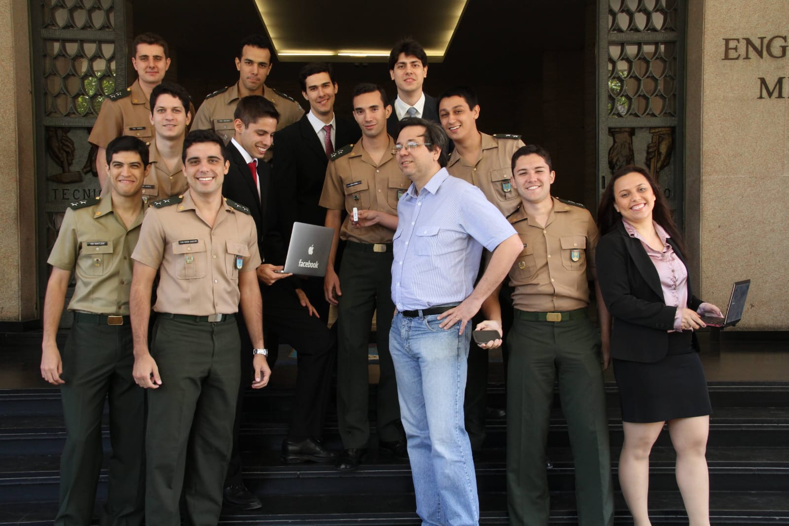
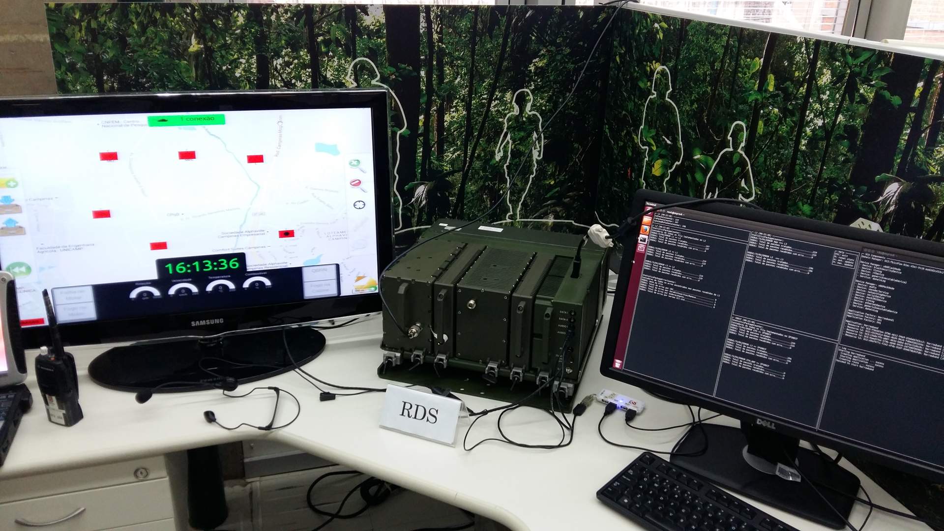
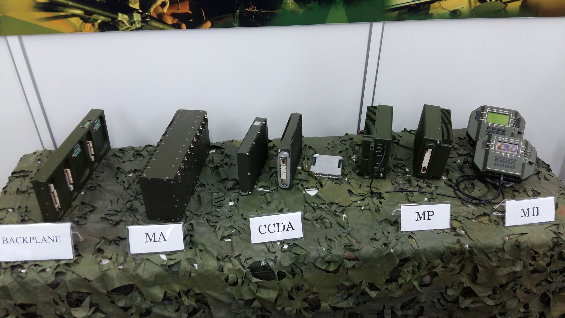
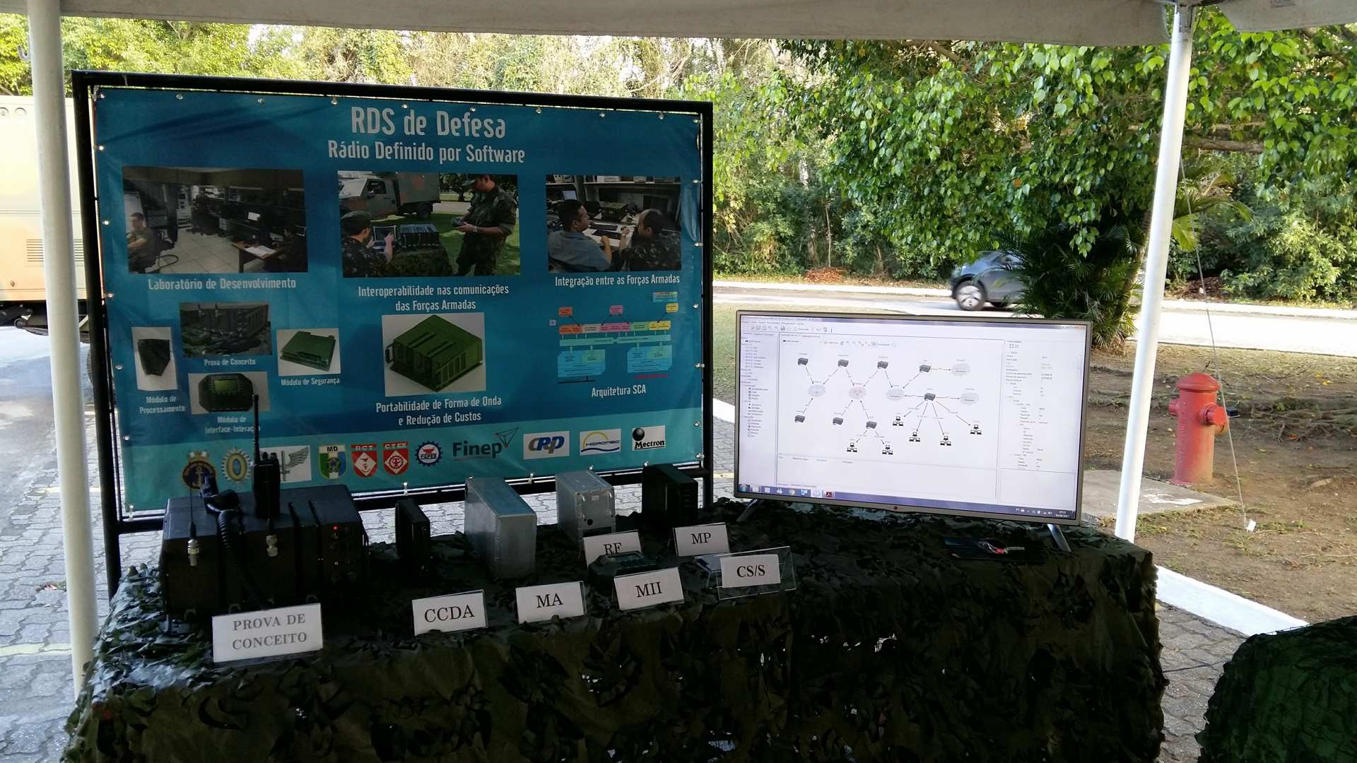
Summary: From 2012 to 2017, I worked with research and development in the Software Defined Radio (SDR) area. In this project, led by the Army Technological Center, I worked mainly on three fronts: Customization, tuning and embedding of Linux systems on SDR hardware platforms. Design and development of software for configuring the SDR, known as Mission Planner. Design and development of the interface software and SDR management system.
From 2018, when I started my master's degree, I started working with research in the area of robotics, especially with drones and mobile robots, as well as artificial intelligence, focusing on the area of computer vision.
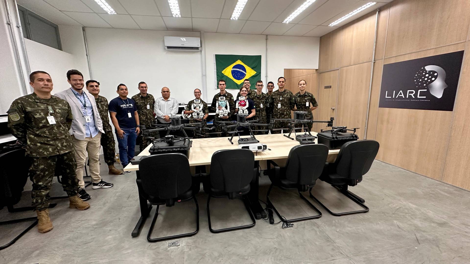
Artificial Intelligence, Robotics, and Cybernetics Laboratory - 2024
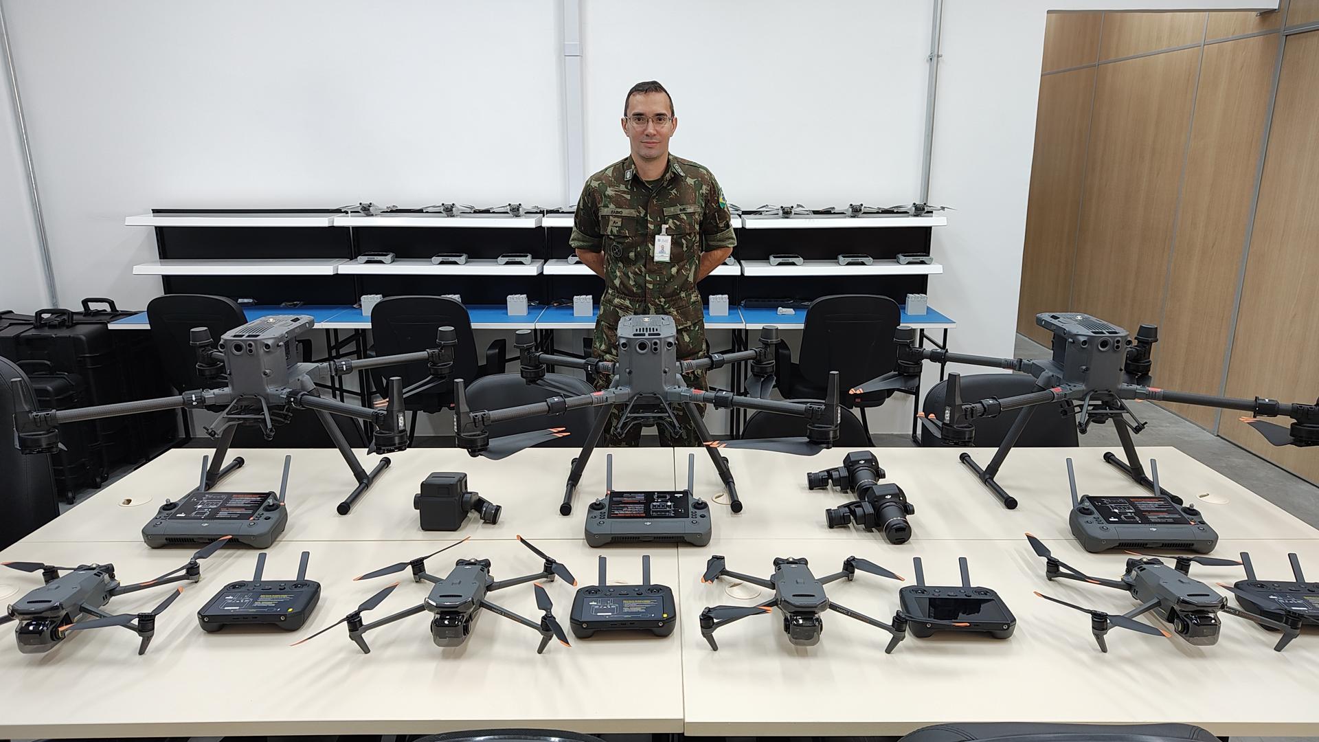
The Artificial Intelligence, Robotics, and Cybernetics Laboratory (LIARC) of the Military Institute of Engineering (IME) is a research center dedicated to developing innovative solutions in the fields of artificial intelligence, robotics, and cybernetics. LIARC focuses its efforts on researching advanced technologies in areas such as aerial drones, ground robots, and cyber systems, with the goal of creating autonomous and collaborative robotic systems and platforms applicable to both civilian and military scenarios. Furthermore, the laboratory features a multidisciplinary team of highly qualified researchers, engineers, and students, who work cooperatively on various projects. With cutting-edge infrastructure, including high-precision 3D printers, advanced drones, humanoid robots, high-performance computers, and simulation platforms, LIARC enables the development of state-of-the-art solutions.
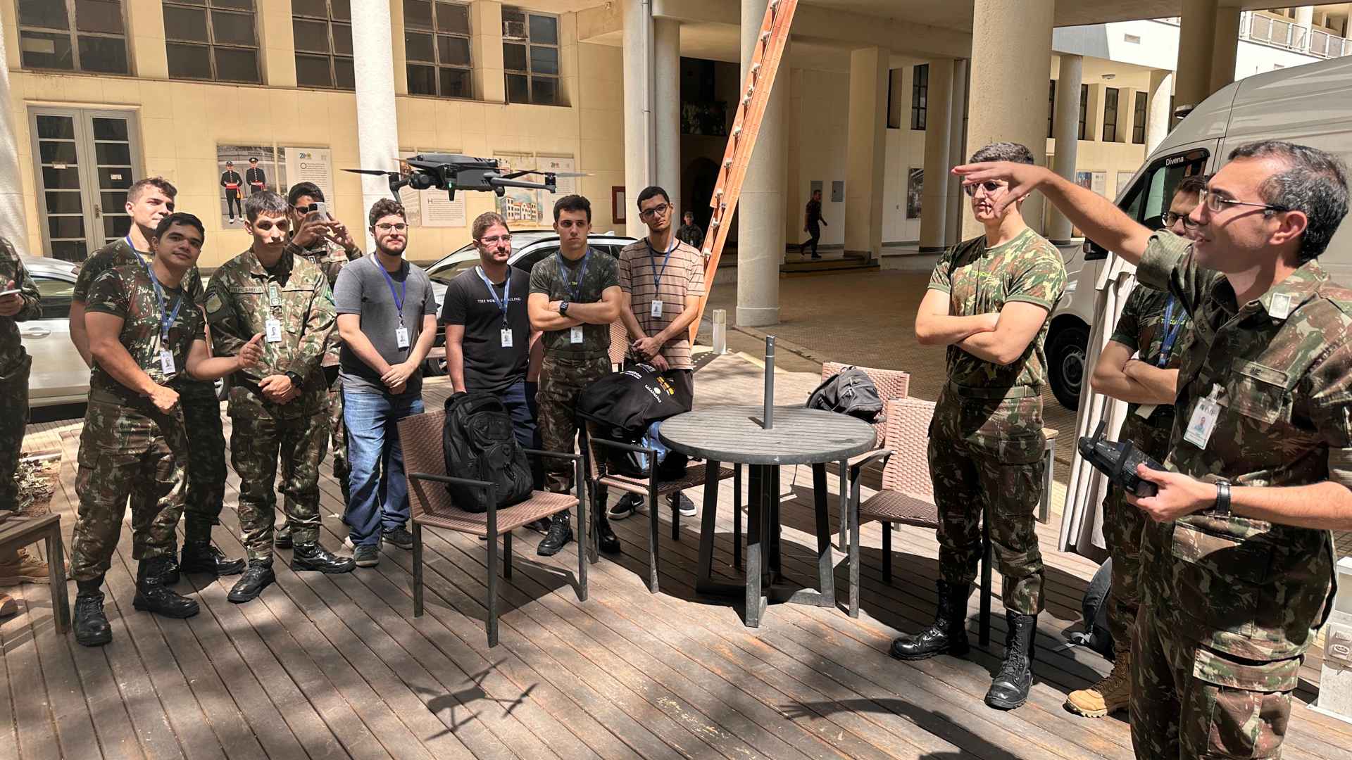
PhD Qualification in Defense Engineering - 2024
PhD qualification in Defense Engineering with the title "Between Ground And Aerial Robotic Platforms For Target Acquisition, Tracking, And Pursuit, Using Computer Vision And Artificial Intelligence". Presented in March 2024.

Master's Thesis Defense - 2020
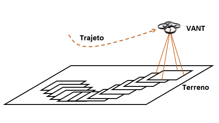
This work conducts a study and implements a UAV navigation software using terrain image recognition. The main concept involved is navigating a UAV autonomously, capturing and using images of the ground as visual waypoints of a trajectory. To accomplish the desired, computational vision mechanisms and a UAV with an embedded camera are used. The operation of the navigation software is divided into 2 main steps described below.
In the first stage, a flight of recognition and acquisition of terrain images is performed. In this flight, a leader UAV makes any trajectory manually controlled by an operator. During this flight, the terrain images are acquired, processed and stored in a trajectory database. Thus, this information will compose the route you wish to take on the autonomous flight.
In the second stage, autonomous flights are performed using the images taken on the first flight. The trajectory data is loaded into the navigation software. Trajectory control is performed through real-time processing of information obtained by the onboard camera. From this, the necessary commands are sent to the autopilot of the aircraft to remake the original trajectory collected in the first stage.
Download Master's Thesis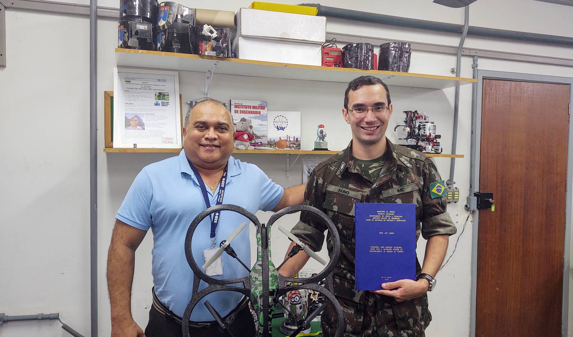
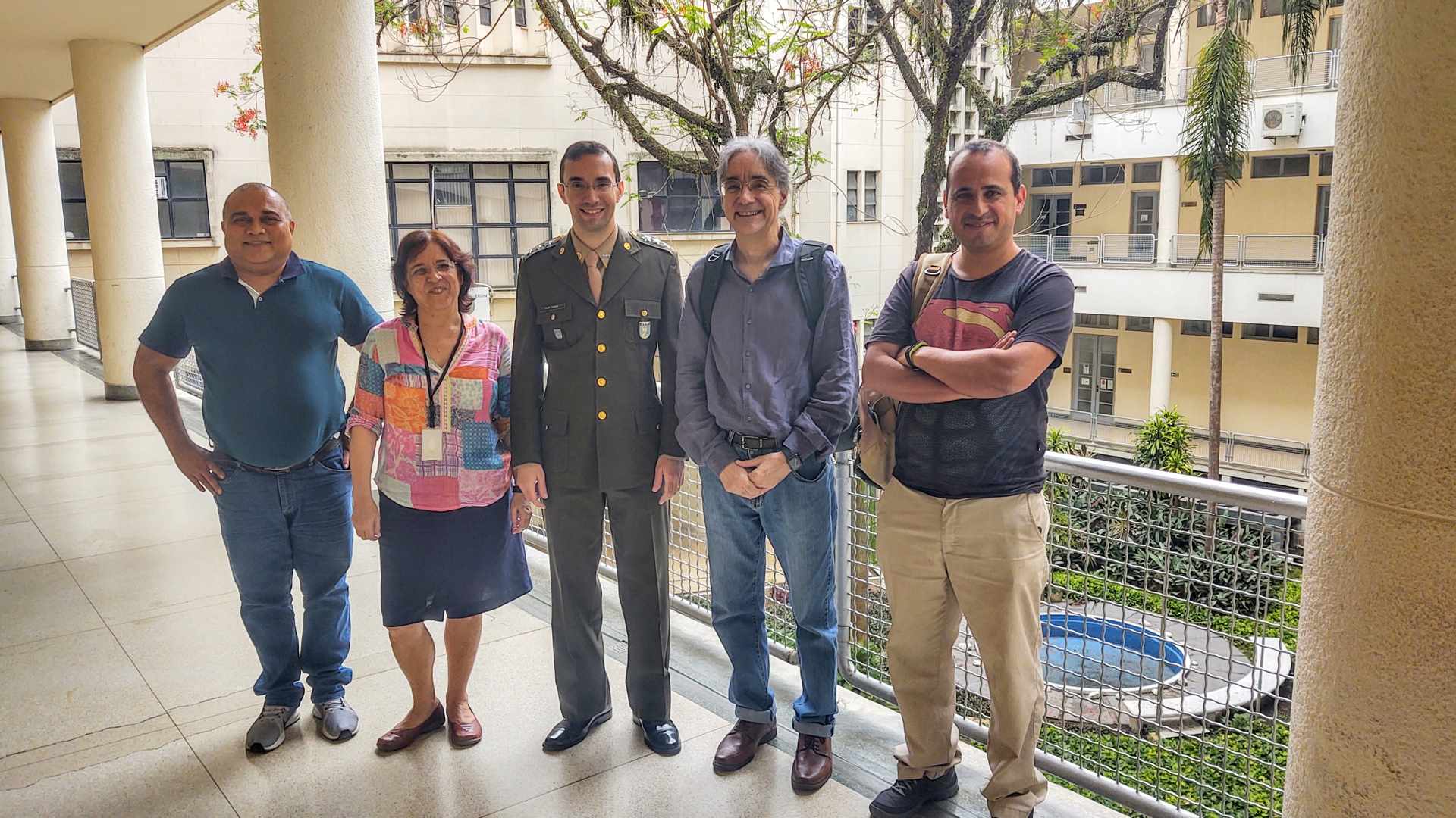
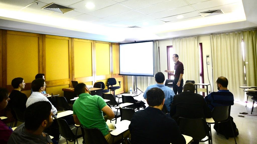
Participation in the Brazilian Symposium on Intelligent Automation (SBAI) - 2019
Presentation of a scientific paper titled "UAV Navigation through Ground Image Recognition."
Abstract: This paper implements a system capable of navigating a UAV (Unmanned Aerial
Vehicle) using ground image recognition. For this, an experimental aircraft was developed and a
2-step algorithm implemented. In the first step, an acquisition flight and composition of image
database of the ground is realized through the execution of any trajectory of flight. In the second
step, using the image database of the trajectory, the aircraft is able to perform the same route
again in an automated way using computational vision.
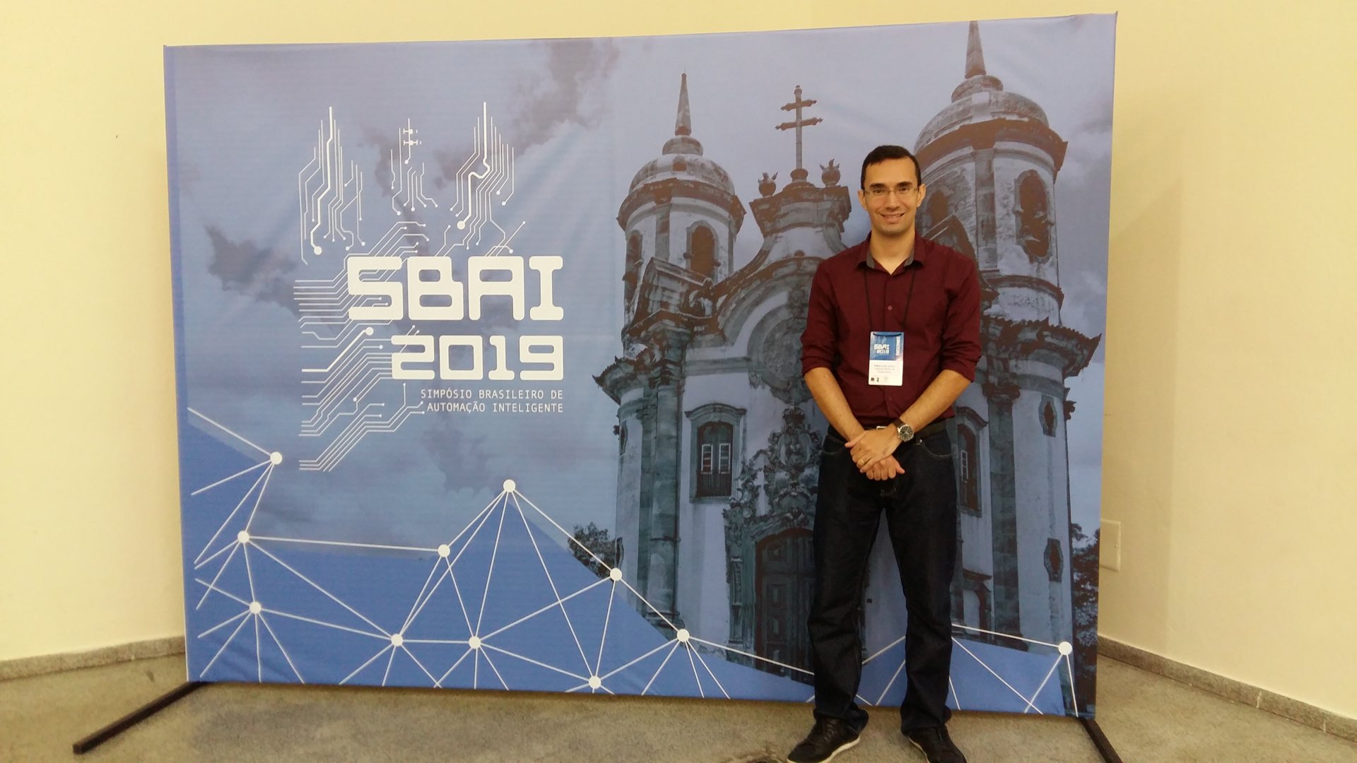
Participation in the IEEE Conference on Global Communications (GLOBECOM) - 2017
Descrição detalhada do projeto de desenvolvimento de rádio definido por software. Este projeto envolveu a implementação de tecnologias avançadas para comunicação sem fio, permitindo configurações dinâmicas e adaptativas do rádio.


Research and Development of Software Defined Radio (SDR) - 2012 to 2017
The project aims to contribute to interoperability in radio communications of the three Armed Forces of Brazil through R&D of radio prototypes, analog and digital waveforms, source and channel coding, development of adaptive transmission techniques, implementation of the SCA (Software Communication Architecture), real-time operating system, development of cryptographic algorithms, georeferencing, and SCA Waveform development tool. The project has a budget of 100 million reais, will involve partnerships with companies and universities, and includes the R&D of various versions of radio prototypes in its scope.
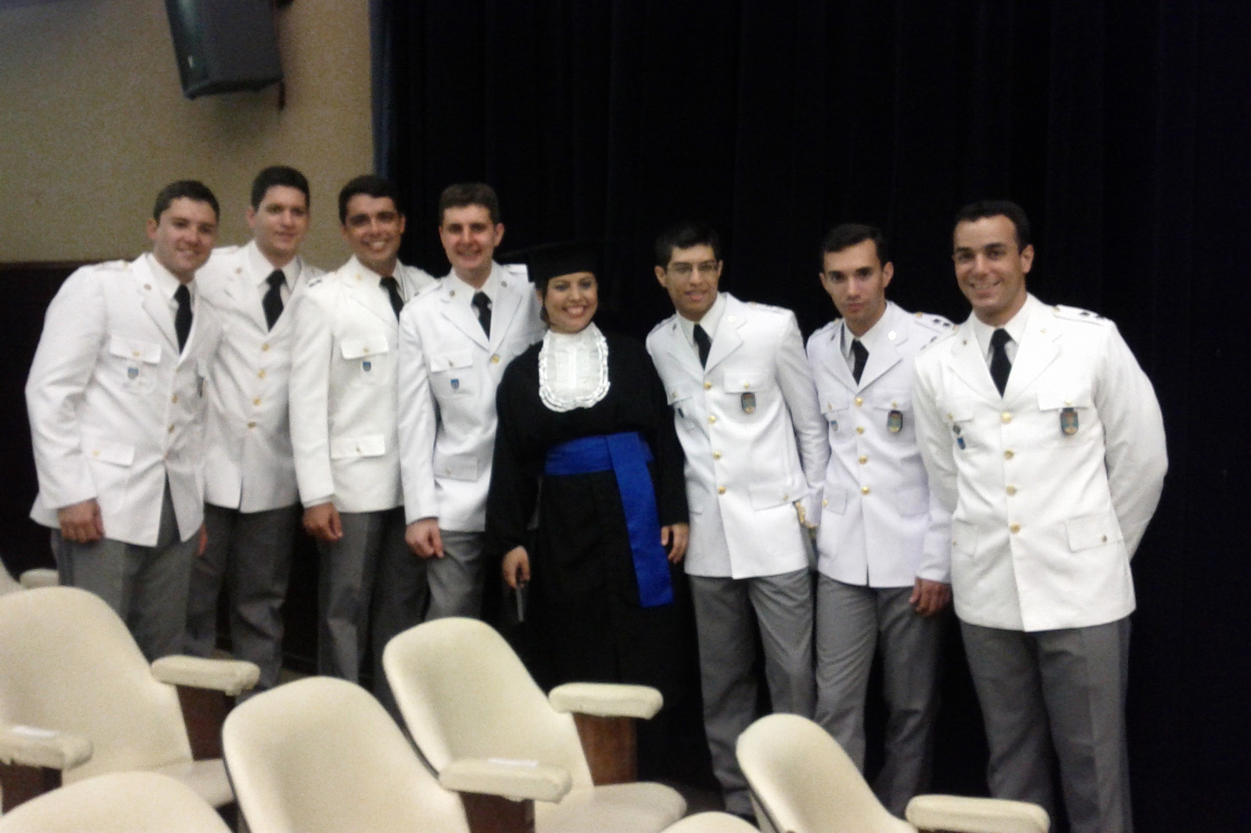
Bachelor's degree in Computer Engineering - 2011
Bachelor's degree in Computer Engineering in Military Institute of Engineering (IME) of Brazilian Army.
